Fairlight Cove
Introduction
The photograph on this page of Fairlight Cove by Robin Webster as part of the Geograph project.
The Geograph project started in 2005 with the aim of publishing, organising and preserving representative images for every square kilometre of Great Britain, Ireland and the Isle of Man.

There are currently over 7.5m images from over 14,400 individuals and you can help contribute to the project by visiting https://www.geograph.org.uk
Fairlight Cove
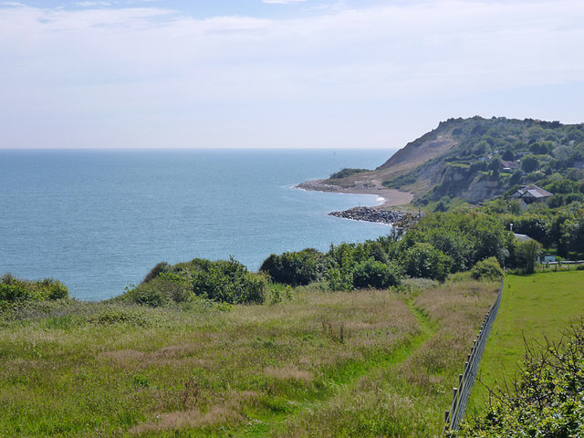
Image: © Robin Webster Taken: 5 Jul 2012
Not really a cove, it was the fanciful name given to the cliff top settlement established here in the 1920s.
Images are licensed for reuse under creativecommons.org/licenses/by-sa/2.0
Image Location
Latitude
50.877506
Longitude
0.672505