Croesfordd ger Nant y Gaseg Uchaf / Crossroads near Nant y Gaseg Uchaf
Introduction
The photograph on this page of Croesfordd ger Nant y Gaseg Uchaf / Crossroads near Nant y Gaseg Uchaf by Alan Richards as part of the Geograph project.
The Geograph project started in 2005 with the aim of publishing, organising and preserving representative images for every square kilometre of Great Britain, Ireland and the Isle of Man.

There are currently over 7.5m images from over 14,400 individuals and you can help contribute to the project by visiting https://www.geograph.org.uk
Croesfordd ger Nant y Gaseg Uchaf / Crossroads near Nant y Gaseg Uchaf
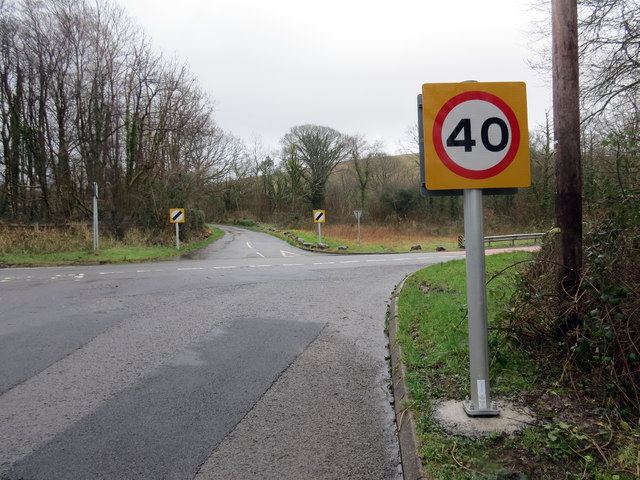
Image: © Alan Richards Taken: 21 Feb 2020
Croesffordd yr A474 ger anhedd-dy o'r enw Nant y Gaseg Uchaf. Crossroads on the A474 near a property known as Nant y Gaseg Uchaf (trans. upper mare stream [farm]).
Images are licensed for reuse under creativecommons.org/licenses/by-sa/2.0
Image Location
Latitude
51.761199
Longitude
-3.88072