Safle glo brig / Opencast coal site
Introduction
The photograph on this page of Safle glo brig / Opencast coal site by Alan Richards as part of the Geograph project.
The Geograph project started in 2005 with the aim of publishing, organising and preserving representative images for every square kilometre of Great Britain, Ireland and the Isle of Man.

There are currently over 7.5m images from over 14,400 individuals and you can help contribute to the project by visiting https://www.geograph.org.uk
Safle glo brig / Opencast coal site
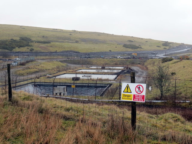
Image: © Alan Richards Taken: 21 Feb 2020
Ffens derfyn safle glo brig yn Nhair Gwaith. Opencast coal site boundary fence at Tai'r Gwaith (trans. works' houses).
Images are licensed for reuse under creativecommons.org/licenses/by-sa/2.0
Image Location
Latitude
51.795049
Longitude
-3.855591