Permanent moorings, Stourport Basin
Introduction
The photograph on this page of Permanent moorings, Stourport Basin by Philip Pankhurst as part of the Geograph project.
The Geograph project started in 2005 with the aim of publishing, organising and preserving representative images for every square kilometre of Great Britain, Ireland and the Isle of Man.

There are currently over 7.5m images from over 14,400 individuals and you can help contribute to the project by visiting https://www.geograph.org.uk
Permanent moorings, Stourport Basin
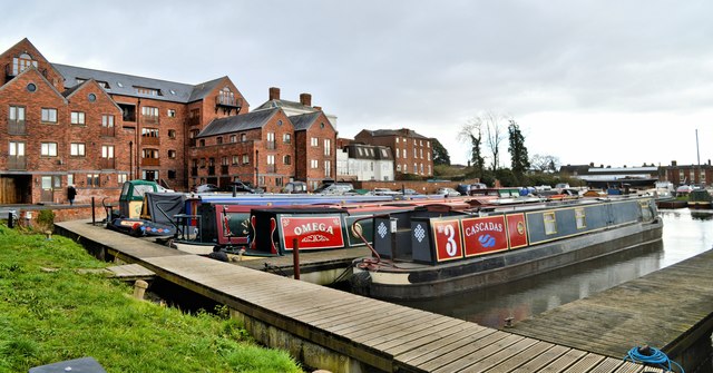
Image: © Philip Pankhurst Taken: 18 Feb 2020
It is difficult today to establish which narrowboats moored here have permanent residents. If the temperature was lower it would be easy to count the smoking chimneys. Stourport Basin is a thriving little community with a resident floating population of between 50 and 80 people, according to the season.
Images are licensed for reuse under creativecommons.org/licenses/by-sa/2.0
Image Location
Latitude
52.338637
Longitude
-2.280582