Hernsham Street, Donhead St. Andrew
Introduction
The photograph on this page of Hernsham Street, Donhead St. Andrew by Chris Heaton as part of the Geograph project.
The Geograph project started in 2005 with the aim of publishing, organising and preserving representative images for every square kilometre of Great Britain, Ireland and the Isle of Man.

There are currently over 7.5m images from over 14,400 individuals and you can help contribute to the project by visiting https://www.geograph.org.uk
Hernsham Street, Donhead St. Andrew
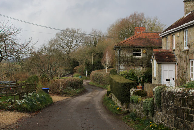
Image: © Chris Heaton Taken: 11 Feb 2020
Adopted by the Wessex Ridgeway long distance footpath as it makes its way through the scattered community of Donhead St. Andrew
Images are licensed for reuse under creativecommons.org/licenses/by-sa/2.0
Image Location
Latitude
51.026293
Longitude
-2.113877