Sustrans waymarker on Granite Way south of Meldon village
Introduction
The photograph on this page of Sustrans waymarker on Granite Way south of Meldon village by David Smith as part of the Geograph project.
The Geograph project started in 2005 with the aim of publishing, organising and preserving representative images for every square kilometre of Great Britain, Ireland and the Isle of Man.

There are currently over 7.5m images from over 14,400 individuals and you can help contribute to the project by visiting https://www.geograph.org.uk
Sustrans waymarker on Granite Way south of Meldon village
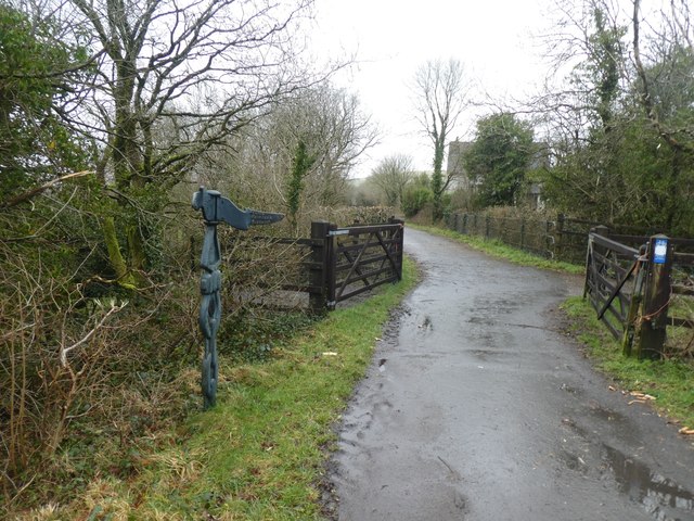
Image: © David Smith Taken: 19 Feb 2020
This waymarker is close to the former railway junction, where the line to north Devon left the Okehampton-Tavistock line
Images are licensed for reuse under creativecommons.org/licenses/by-sa/2.0
Image Location


Leaflet Map data © OpenStreetMap
Latitude
50.711244
Longitude
-4.04291