Flash flooding, Mitcheldean
Introduction
The photograph on this page of Flash flooding, Mitcheldean by Jonathan Billinger as part of the Geograph project.
The Geograph project started in 2005 with the aim of publishing, organising and preserving representative images for every square kilometre of Great Britain, Ireland and the Isle of Man.

There are currently over 7.5m images from over 14,400 individuals and you can help contribute to the project by visiting https://www.geograph.org.uk
Flash flooding, Mitcheldean
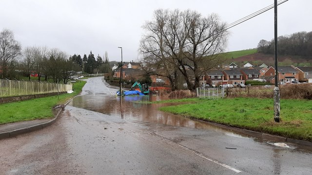
Image: © Jonathan Billinger Taken: 16 Feb 2020
Approaching the village from the north after a full 24 hours precipitation from Storm Dennis.
Images are licensed for reuse under creativecommons.org/licenses/by-sa/2.0
Image Location
Latitude
51.869372
Longitude
-2.487811