Junction of Romsley Road and Adams Hill
Introduction
The photograph on this page of Junction of Romsley Road and Adams Hill by Noisar as part of the Geograph project.
The Geograph project started in 2005 with the aim of publishing, organising and preserving representative images for every square kilometre of Great Britain, Ireland and the Isle of Man.

There are currently over 7.5m images from over 14,400 individuals and you can help contribute to the project by visiting https://www.geograph.org.uk
Junction of Romsley Road and Adams Hill
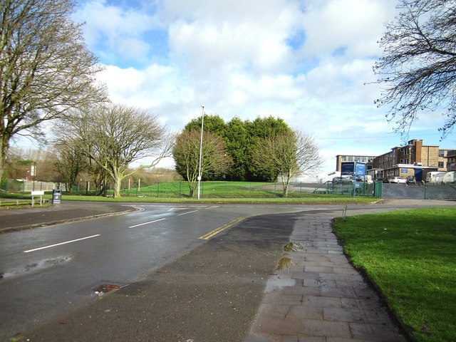
Image: © Noisar Taken: 18 Feb 2020
Bartley Green Leisure centre is on the right.
Images are licensed for reuse under creativecommons.org/licenses/by-sa/2.0
Image Location
Latitude
52.437233
Longitude
-2.000839