Quarry Plantation
Introduction
The photograph on this page of Quarry Plantation by Matthew Hatton as part of the Geograph project.
The Geograph project started in 2005 with the aim of publishing, organising and preserving representative images for every square kilometre of Great Britain, Ireland and the Isle of Man.

There are currently over 7.5m images from over 14,400 individuals and you can help contribute to the project by visiting https://www.geograph.org.uk
Quarry Plantation
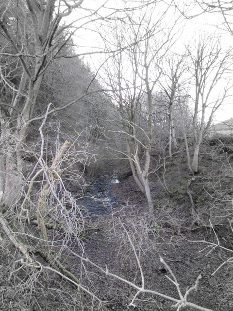
Image: © Matthew Hatton Taken: 16 Feb 2020
This deep hole to the side of Petlar's Bridge over the Eskdale Line, pre-dates the railway by half a century. Whinstone was being extracted from here in the 1830s it was abandoned by the 1880s presumably as it had been worked out. Whinstone is geologically a basaultic andesite with plagioclase and pyroene phenocrysts in a devitrified glassy groundmass. The dyke is generally 22-28m wide. The dyke is mapped from the coast of Cleveland, across northern England, the Southern Uplands and Midland Valley of Scotland. It can be traced to the Isle of Mull where a dyke swarm emminates. It is an Igneous intrusion.
Images are licensed for reuse under creativecommons.org/licenses/by-sa/2.0
Image Location


Leaflet Map data © OpenStreetMap
Latitude
54.481105
Longitude
-1.042446