Heol fynedfa yn Fforest Goch / Access road at Fforest Goch
Introduction
The photograph on this page of Heol fynedfa yn Fforest Goch / Access road at Fforest Goch by Alan Richards as part of the Geograph project.
The Geograph project started in 2005 with the aim of publishing, organising and preserving representative images for every square kilometre of Great Britain, Ireland and the Isle of Man.

There are currently over 7.5m images from over 14,400 individuals and you can help contribute to the project by visiting https://www.geograph.org.uk
Heol fynedfa yn Fforest Goch / Access road at Fforest Goch
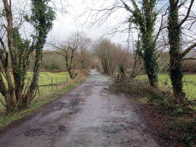
Image: © Alan Richards Taken: 17 Feb 2020
Heol fynedfa ym mhentre Fforest Goch yn arwain at ffermydd. Access road in the village of Fforest Goch (trans. red wood) heading towards farms.
Images are licensed for reuse under creativecommons.org/licenses/by-sa/2.0
Image Location
Latitude
51.697305
Longitude
-3.821056