Street House on NE side of Roman Road
Introduction
The photograph on this page of Street House on NE side of Roman Road by Luke Shaw as part of the Geograph project.
The Geograph project started in 2005 with the aim of publishing, organising and preserving representative images for every square kilometre of Great Britain, Ireland and the Isle of Man.

There are currently over 7.5m images from over 14,400 individuals and you can help contribute to the project by visiting https://www.geograph.org.uk
Street House on NE side of Roman Road
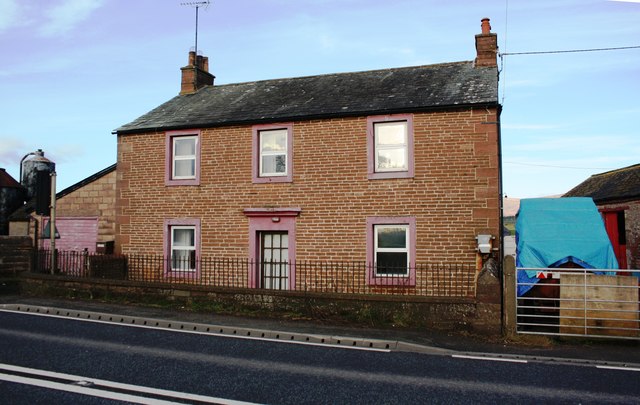
Image: © Luke Shaw Taken: 4 Feb 2020
This is probably the house referred to as Mr. Atkinson's House by the Ordnance Survey which cut a benchmark in 1844 on the coping of the wall in front of the house. See www.bench-marks.org.uk/bm67399
Images are licensed for reuse under creativecommons.org/licenses/by-sa/2.0
Image Location
Latitude
54.624099
Longitude
-2.571624