Construction work at Black Friars
Introduction
The photograph on this page of Construction work at Black Friars by Mat Fascione as part of the Geograph project.
The Geograph project started in 2005 with the aim of publishing, organising and preserving representative images for every square kilometre of Great Britain, Ireland and the Isle of Man.

There are currently over 7.5m images from over 14,400 individuals and you can help contribute to the project by visiting https://www.geograph.org.uk
Construction work at Black Friars
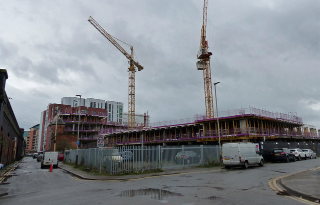
Image: © Mat Fascione Taken: 16 Feb 2020
At the junction of Jarvis Street and All Saints Road. Black Friars is an area of the city of Leicester next to the River Soar, it is named after a former Dominican friary. The area is being redeveloped with a mixture of apartments and offices.
Images are licensed for reuse under creativecommons.org/licenses/by-sa/2.0
Image Location
Latitude
52.637754
Longitude
-1.142734