Whiterow Memorial
Introduction
The photograph on this page of Whiterow Memorial by Jean Aldridge as part of the Geograph project.
The Geograph project started in 2005 with the aim of publishing, organising and preserving representative images for every square kilometre of Great Britain, Ireland and the Isle of Man.

There are currently over 7.5m images from over 14,400 individuals and you can help contribute to the project by visiting https://www.geograph.org.uk
Whiterow Memorial
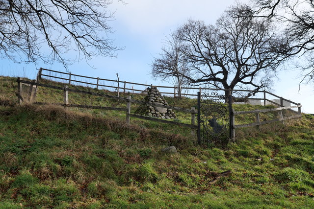
Image: © Jean Aldridge Taken: 16 Feb 2020
A memorial to the couple from Whiterow Farm who were buried on the hill in the field before the land was sold for a housing development.
Images are licensed for reuse under creativecommons.org/licenses/by-sa/2.0
Image Location
Latitude
57.594636
Longitude
-3.624102