Havering Town Hall
Introduction
The photograph on this page of Havering Town Hall by Stephen McKay as part of the Geograph project.
The Geograph project started in 2005 with the aim of publishing, organising and preserving representative images for every square kilometre of Great Britain, Ireland and the Isle of Man.

There are currently over 7.5m images from over 14,400 individuals and you can help contribute to the project by visiting https://www.geograph.org.uk
Havering Town Hall
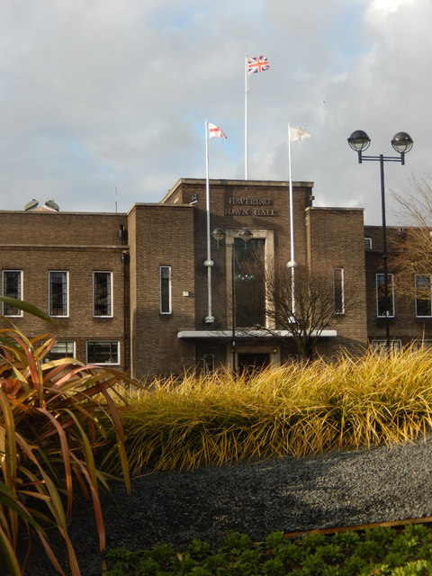
Image: © Stephen McKay Taken: 13 Feb 2020
Originally Romford Town Hall, this building dates from the 1930s when it was designed by architects H R Collins and A E O Geens; it was extended in 1960 and again in 1988. Since 1965 it has been Havering Town Hall, serving London's most easterly borough comprising Romford, Hornchurch, Rainham and Upminster with a population (in 2011) of 237,232.
Images are licensed for reuse under creativecommons.org/licenses/by-sa/2.0
Image Location
Latitude
51.58115
Longitude
0.183699