Rockfield House, Rocky Lane
Introduction
The photograph on this page of Rockfield House, Rocky Lane by Sue Adair as part of the Geograph project.
The Geograph project started in 2005 with the aim of publishing, organising and preserving representative images for every square kilometre of Great Britain, Ireland and the Isle of Man.

There are currently over 7.5m images from over 14,400 individuals and you can help contribute to the project by visiting https://www.geograph.org.uk
Rockfield House, Rocky Lane
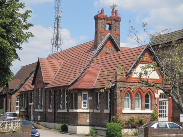
Image: © Sue Adair Taken: 4 Jul 2011
Rockfield House on Rocky Lane is a community based residential home for people with a learning disabilities. It was previously St Margaret's C of E Primary School.
Images are licensed for reuse under creativecommons.org/licenses/by-sa/2.0
Image Location
Latitude
53.421849
Longitude
-2.94676