Tan Lane Exeter
Introduction
The photograph on this page of Tan Lane Exeter by Chris Allen as part of the Geograph project.
The Geograph project started in 2005 with the aim of publishing, organising and preserving representative images for every square kilometre of Great Britain, Ireland and the Isle of Man.

There are currently over 7.5m images from over 14,400 individuals and you can help contribute to the project by visiting https://www.geograph.org.uk
Tan Lane Exeter
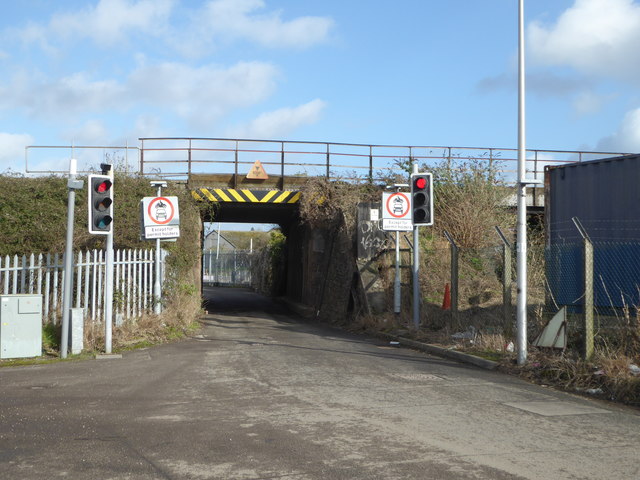
Image: © Chris Allen Taken: 8 Feb 2020
This links Haven Banks and Marsh Barton under the railway line. The road is narrow, controlled by traffic lights and barred to all but permit holders. The park and ride bus service seems to use it.
Images are licensed for reuse under creativecommons.org/licenses/by-sa/2.0
Image Location
Latitude
50.712336
Longitude
-3.531894