Victoria Street houses
Introduction
The photograph on this page of Victoria Street houses by phil Richards as part of the Geograph project.
The Geograph project started in 2005 with the aim of publishing, organising and preserving representative images for every square kilometre of Great Britain, Ireland and the Isle of Man.

There are currently over 7.5m images from over 14,400 individuals and you can help contribute to the project by visiting https://www.geograph.org.uk
Victoria Street houses
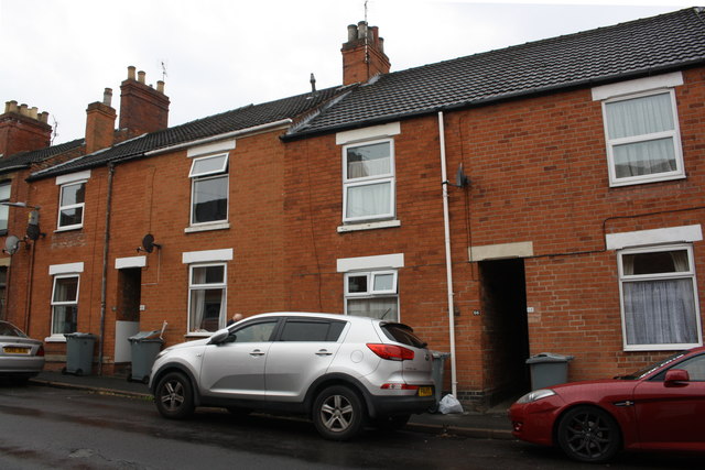
Image: © phil Richards Taken: 9 Sep 2019
There is an OS Benchmark Image on the bricks at the left hand side of the alleyway between the two parked cars
Images are licensed for reuse under creativecommons.org/licenses/by-sa/2.0
Image Location
Latitude
52.90124
Longitude
-0.640978