168 - 178 Sandcross Lane
Introduction
The photograph on this page of 168 - 178 Sandcross Lane by Ian Capper as part of the Geograph project.
The Geograph project started in 2005 with the aim of publishing, organising and preserving representative images for every square kilometre of Great Britain, Ireland and the Isle of Man.

There are currently over 7.5m images from over 14,400 individuals and you can help contribute to the project by visiting https://www.geograph.org.uk
168 - 178 Sandcross Lane
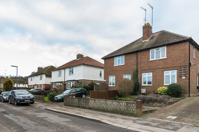
Image: © Ian Capper Taken: 10 Jan 2020
Three pairs of semi-detached houses on Sandcross Lane. The nearest pair, nos 168 - 170, first appears on the 1961 1:1,250 map, the other two on the 1935 1:2,500 map.
Images are licensed for reuse under creativecommons.org/licenses/by-sa/2.0
Image Location
Latitude
51.223665
Longitude
-0.210824