Higher Road Halewood
Introduction
The photograph on this page of Higher Road Halewood by Sue Adair as part of the Geograph project.
The Geograph project started in 2005 with the aim of publishing, organising and preserving representative images for every square kilometre of Great Britain, Ireland and the Isle of Man.

There are currently over 7.5m images from over 14,400 individuals and you can help contribute to the project by visiting https://www.geograph.org.uk
Higher Road Halewood
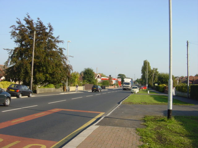
Image: © Sue Adair Taken: 5 Oct 2005
Looking East along the A562 at Halewood near the Jaguar factory, Total petrol station on the left in the distance
Images are licensed for reuse under creativecommons.org/licenses/by-sa/2.0
Image Location
Latitude
53.357151
Longitude
-2.83534