
Westwards view - Walsall, West Midlands
Introduction
The photograph on this page of Westwards view - Walsall, West Midlands by Martin Richard Phelan as part of the Geograph project.
The Geograph project started in 2005 with the aim of publishing, organising and preserving representative images for every square kilometre of Great Britain, Ireland and the Isle of Man.

There are currently over 7.5m images from over 14,400 individuals and you can help contribute to the project by visiting https://www.geograph.org.uk
Westwards view - Walsall, West Midlands
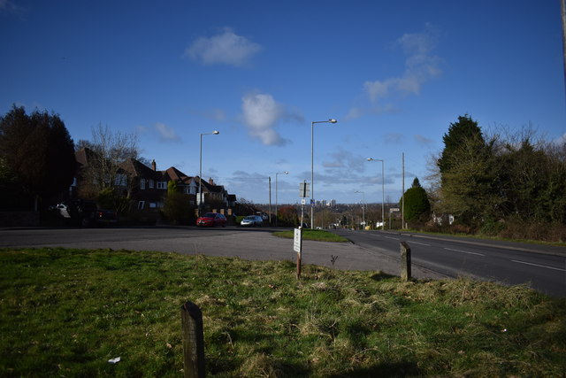
Image: © Martin Richard Phelan Taken: 12 Feb 2020
This photo of the Skip Lane junction towards Walsall was taken from by the bus shelter on Skip Lane, on the eastern edge of the town. Skip Lane runs south-west from its junction with the B4151 Sutton Road then roughly southwards until it joins the A34 Birmingham Road to the south-east of Walsall Image This area of Walsall is served for buses by National Express West Midlands - routes 77 from Sutton Coldfield and the 934 and 935 from Birmingham run along Sutton Road. Time photo taken 10.44 am GMT (Greenwich Mean Time).
Images are licensed for reuse under creativecommons.org/licenses/by-sa/2.0
Image Location

Latitude
52.580962
Longitude
-1.93207