Field gateway off south side of B6412
Introduction
The photograph on this page of Field gateway off south side of B6412 by Luke Shaw as part of the Geograph project.
The Geograph project started in 2005 with the aim of publishing, organising and preserving representative images for every square kilometre of Great Britain, Ireland and the Isle of Man.

There are currently over 7.5m images from over 14,400 individuals and you can help contribute to the project by visiting https://www.geograph.org.uk
Field gateway off south side of B6412
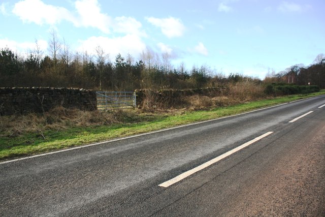
Image: © Luke Shaw Taken: 4 Feb 2020
In 1844 the Ordnance Survey cut a benchmark on the face of a rock in the wall here: see www.bench-marks.org.uk/bm67384 . It is shown on Old Maps up to 1900.
Images are licensed for reuse under creativecommons.org/licenses/by-sa/2.0
Image Location
Latitude
54.650251
Longitude
-2.626079