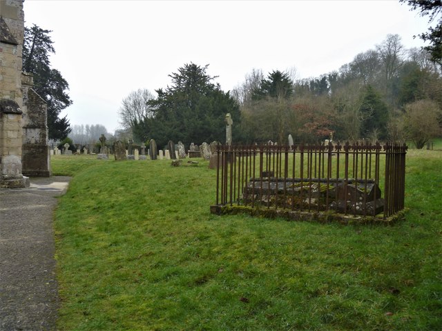
Parish church [5]
Introduction
The photograph on this page of Parish church [5] by Michael Dibb as part of the Geograph project.
The Geograph project started in 2005 with the aim of publishing, organising and preserving representative images for every square kilometre of Great Britain, Ireland and the Isle of Man.
There are currently over 7.5m images from over 14,400 individuals and you can help contribute to the project by visiting https://www.geograph.org.uk

Image: © Michael Dibb Taken: 31 Dec 2019
The churchyard has many old tombs and grave markers. The church of All Saints has parts from the 11th, 12th 13th and 15th centuries and was restored in 1889. The lower part of the west tower is 11th century, the nave and chancel are 13th century and the aisles were rebuilt in the 15th century. Restoration included replacement of the roofs and chancel arch and demolition of the north porch. The site is that of a Saxon church, recorded in the Domesday survey of 1086. Listed, grade I, with details at: https://historicengland.org.uk/listing/the-list/list-entry/1033956

