Bend at junction with cycle way near Winderwath Farm
Introduction
The photograph on this page of Bend at junction with cycle way near Winderwath Farm by Luke Shaw as part of the Geograph project.
The Geograph project started in 2005 with the aim of publishing, organising and preserving representative images for every square kilometre of Great Britain, Ireland and the Isle of Man.

There are currently over 7.5m images from over 14,400 individuals and you can help contribute to the project by visiting https://www.geograph.org.uk
Bend at junction with cycle way near Winderwath Farm
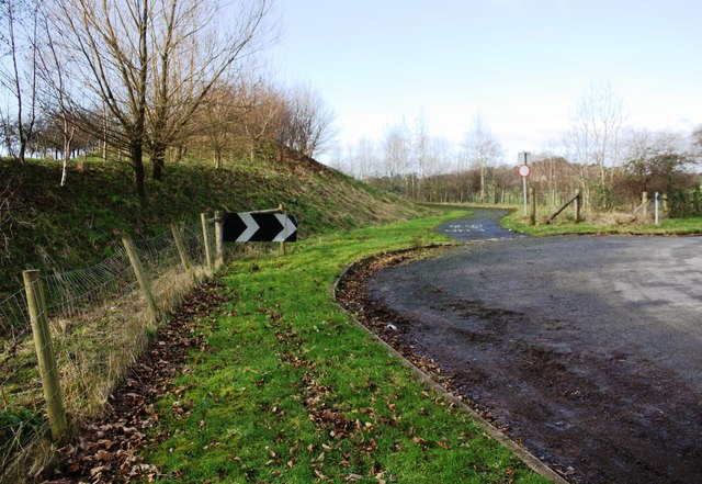
Image: © Luke Shaw Taken: 4 Feb 2020
Before the construction of the A66 there was a T-junction here. In 1844 the Ordnance Survey cut a benchmark (see www.bench-marks.org.uk/bm67383 ) on the south side of the road; the mark is shown on the 1860 Map, but is no longer there.
Images are licensed for reuse under creativecommons.org/licenses/by-sa/2.0
Image Location
Latitude
54.65111
Longitude
-2.633687