The spire of St George's URC
Introduction
The photograph on this page of The spire of St George's URC by Bill Boaden as part of the Geograph project.
The Geograph project started in 2005 with the aim of publishing, organising and preserving representative images for every square kilometre of Great Britain, Ireland and the Isle of Man.

There are currently over 7.5m images from over 14,400 individuals and you can help contribute to the project by visiting https://www.geograph.org.uk
The spire of St George's URC
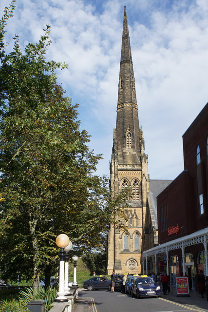
Image: © Bill Boaden Taken: 14 Sep 2019
A Grade II listed building, erected as a Presbyterian church in 1873.
Images are licensed for reuse under creativecommons.org/licenses/by-sa/2.0
Image Location


Leaflet Map data © OpenStreetMap
Latitude
53.649529
Longitude
-3.002385