The churchyard and the tower
Introduction
The photograph on this page of The churchyard and the tower by Neil Owen as part of the Geograph project.
The Geograph project started in 2005 with the aim of publishing, organising and preserving representative images for every square kilometre of Great Britain, Ireland and the Isle of Man.

There are currently over 7.5m images from over 14,400 individuals and you can help contribute to the project by visiting https://www.geograph.org.uk
The churchyard and the tower
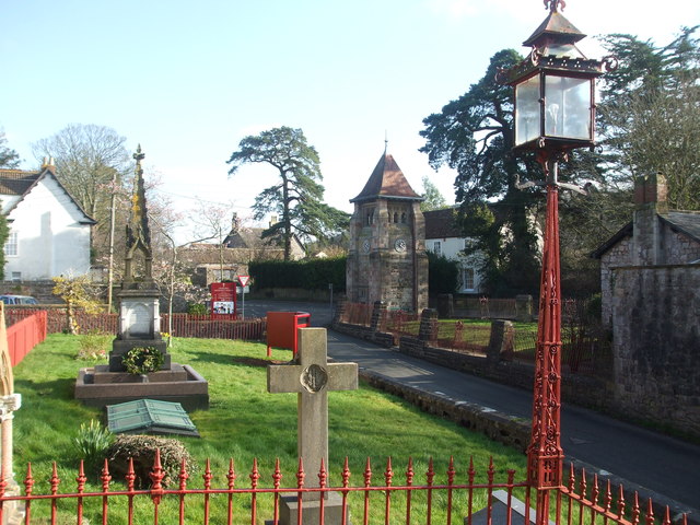
Image: © Neil Owen Taken: 6 Feb 2020
Churchill Methodist church front yard and the Jubilee tower in the distance. The church founder, Sydney Hill and his wife are interred in a tomb. Just across the road is the Jubilee tower, built in 1897.
Images are licensed for reuse under creativecommons.org/licenses/by-sa/2.0
Image Location
Latitude
51.334107
Longitude
-2.800054