Part of the Churchill Methodist church
Introduction
The photograph on this page of Part of the Churchill Methodist church by Neil Owen as part of the Geograph project.
The Geograph project started in 2005 with the aim of publishing, organising and preserving representative images for every square kilometre of Great Britain, Ireland and the Isle of Man.

There are currently over 7.5m images from over 14,400 individuals and you can help contribute to the project by visiting https://www.geograph.org.uk
Part of the Churchill Methodist church
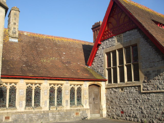
Image: © Neil Owen Taken: 6 Feb 2020
An angle of the larger plan of the church and hall, upon which is a benchmark. See Image] for a closer confirmation under the gable.
Images are licensed for reuse under creativecommons.org/licenses/by-sa/2.0
Image Location
Latitude
51.334195
Longitude
-2.800199