Sheltered Snook
Introduction
The photograph on this page of Sheltered Snook by Adam Ward as part of the Geograph project.
The Geograph project started in 2005 with the aim of publishing, organising and preserving representative images for every square kilometre of Great Britain, Ireland and the Isle of Man.

There are currently over 7.5m images from over 14,400 individuals and you can help contribute to the project by visiting https://www.geograph.org.uk
Sheltered Snook
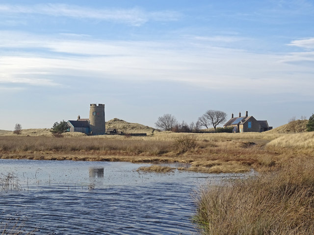
Image: © Adam Ward Taken: 7 Feb 2020
The two buildings at Snook on Holy Island. Though the dune system beyond is not enormous they are high enough to provide shelter from the strong winds that were blowing. The tower part of the building on the left is presumably an old windmill.
Images are licensed for reuse under creativecommons.org/licenses/by-sa/2.0
Image Location
Latitude
55.686225
Longitude
-1.841403