Path leaving Whitwell
Introduction
The photograph on this page of Path leaving Whitwell by Stephen Ostler as part of the Geograph project.
The Geograph project started in 2005 with the aim of publishing, organising and preserving representative images for every square kilometre of Great Britain, Ireland and the Isle of Man.

There are currently over 7.5m images from over 14,400 individuals and you can help contribute to the project by visiting https://www.geograph.org.uk
Path leaving Whitwell
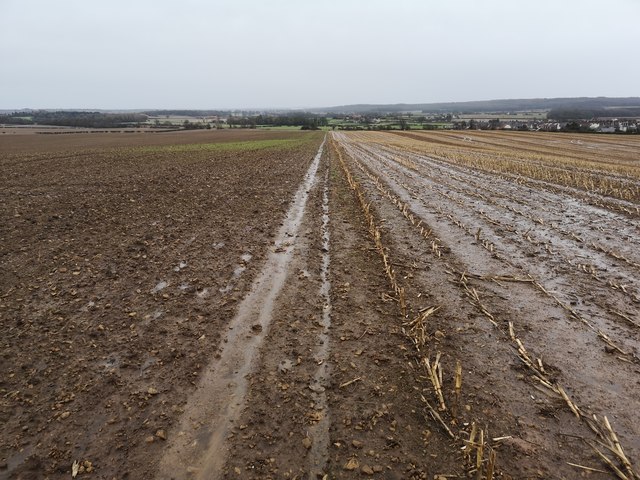
Image: © Stephen Ostler Taken: 9 Feb 2020
Hodthorpe is to the right of this photo. Taken during Storm Ciara
Images are licensed for reuse under creativecommons.org/licenses/by-sa/2.0
Image Location
Latitude
53.285442
Longitude
-1.19358