Public grassed area on Riverdale Road
Introduction
The photograph on this page of Public grassed area on Riverdale Road by Trevor Littlewood as part of the Geograph project.
The Geograph project started in 2005 with the aim of publishing, organising and preserving representative images for every square kilometre of Great Britain, Ireland and the Isle of Man.

There are currently over 7.5m images from over 14,400 individuals and you can help contribute to the project by visiting https://www.geograph.org.uk
Public grassed area on Riverdale Road
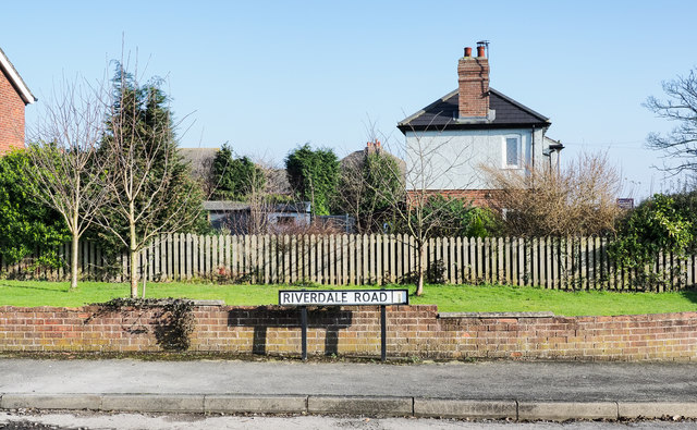
Image: © Trevor Littlewood Taken: 7 Feb 2020
Riverdale Road is a cul-de-sac off High Street in Swinefleet. The small grassed area is owned by the parish council. Croft House and its garden are beyond; the house faces on to High Street.
Images are licensed for reuse under creativecommons.org/licenses/by-sa/2.0
Image Location


Leaflet Map data © OpenStreetMap
Latitude
53.692448
Longitude
-0.83311