Shallow ditch between road and field
Introduction
The photograph on this page of Shallow ditch between road and field by Trevor Littlewood as part of the Geograph project.
The Geograph project started in 2005 with the aim of publishing, organising and preserving representative images for every square kilometre of Great Britain, Ireland and the Isle of Man.

There are currently over 7.5m images from over 14,400 individuals and you can help contribute to the project by visiting https://www.geograph.org.uk
Shallow ditch between road and field
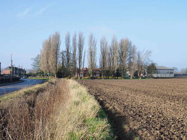
Image: © Trevor Littlewood Taken: 7 Feb 2020
The road is the A161, King's Causeway, entering Swinefleet from the south-east. The buildings beyond the field and poplar trees are at King's Causeway Farm. The ditch, by the standards of this area of flat farmland, is indeed a very shallow one.
Images are licensed for reuse under creativecommons.org/licenses/by-sa/2.0
Image Location
Latitude
53.687621
Longitude
-0.826732