Public footpath on the sea wall, south from Gayton Cottage
Introduction
The photograph on this page of Public footpath on the sea wall, south from Gayton Cottage by Christine Johnstone as part of the Geograph project.
The Geograph project started in 2005 with the aim of publishing, organising and preserving representative images for every square kilometre of Great Britain, Ireland and the Isle of Man.

There are currently over 7.5m images from over 14,400 individuals and you can help contribute to the project by visiting https://www.geograph.org.uk
Public footpath on the sea wall, south from Gayton Cottage
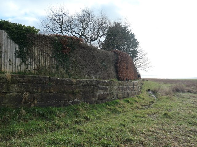
Image: © Christine Johnstone Taken: 2 Feb 2020
The River Dee now flows along the Welsh [west] side of the estuary.
Images are licensed for reuse under creativecommons.org/licenses/by-sa/2.0
Image Location
Latitude
53.311554
Longitude
-3.103566