At the Mowbray Road end of the Rock Allotments
Introduction
The photograph on this page of At the Mowbray Road end of the Rock Allotments by John Sutton as part of the Geograph project.
The Geograph project started in 2005 with the aim of publishing, organising and preserving representative images for every square kilometre of Great Britain, Ireland and the Isle of Man.

There are currently over 7.5m images from over 14,400 individuals and you can help contribute to the project by visiting https://www.geograph.org.uk
At the Mowbray Road end of the Rock Allotments
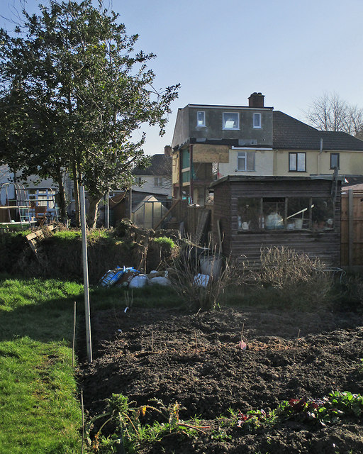
Image: © John Sutton Taken: 7 Feb 2020
The Glebe Road plot is the largest of the Rock Allotment Society's holdings. The front of the house in the background appears in Image] (January 2019).
Images are licensed for reuse under creativecommons.org/licenses/by-sa/2.0
Image Location


Leaflet Map data © OpenStreetMap
Latitude
52.182027
Longitude
0.14924