The Elisabeth Arms, Spring Vale, Wolverhampton
Introduction
The photograph on this page of The Elisabeth Arms, Spring Vale, Wolverhampton by Roger D Kidd as part of the Geograph project.
The Geograph project started in 2005 with the aim of publishing, organising and preserving representative images for every square kilometre of Great Britain, Ireland and the Isle of Man.

There are currently over 7.5m images from over 14,400 individuals and you can help contribute to the project by visiting https://www.geograph.org.uk
The Elisabeth Arms, Spring Vale, Wolverhampton
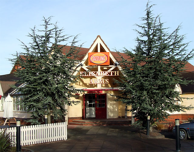
Image: © Roger D Kidd Taken: 23 Dec 2007
The main entrance. The estate (and pub) were built in the 1990s on a "brown field" site, the long disused Spring Vale Colliery. The Bilston Steel Works across the canal to the north closed in 1979 and you can click here http://www.wolverhamptonhistory.org.uk/work/industry/steel to learn about the origin of this pub's name.
Images are licensed for reuse under creativecommons.org/licenses/by-sa/2.0
Image Location
Latitude
52.554065
Longitude
-2.093759