Llwybr Caeffwrn / Caeffwrn Path
Introduction
The photograph on this page of Llwybr Caeffwrn / Caeffwrn Path by Alan Richards as part of the Geograph project.
The Geograph project started in 2005 with the aim of publishing, organising and preserving representative images for every square kilometre of Great Britain, Ireland and the Isle of Man.

There are currently over 7.5m images from over 14,400 individuals and you can help contribute to the project by visiting https://www.geograph.org.uk
Llwybr Caeffwrn / Caeffwrn Path
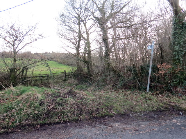
Image: © Alan Richards Taken: 5 Feb 2020
Llwybr cyhoeddus yn gadael yr heol ac yn mynd i gyfeiriad Ffarm Caeffwrn. A public footpath exiting the road and heading in the direction of Caeffrwn Farm (trans. oven / cauldron field).
Images are licensed for reuse under creativecommons.org/licenses/by-sa/2.0
Image Location
Latitude
51.837481
Longitude
-4.045893