Llwybr yr Hafod / Yr Hafod Path
Introduction
The photograph on this page of Llwybr yr Hafod / Yr Hafod Path by Alan Richards as part of the Geograph project.
The Geograph project started in 2005 with the aim of publishing, organising and preserving representative images for every square kilometre of Great Britain, Ireland and the Isle of Man.

There are currently over 7.5m images from over 14,400 individuals and you can help contribute to the project by visiting https://www.geograph.org.uk
Llwybr yr Hafod / Yr Hafod Path
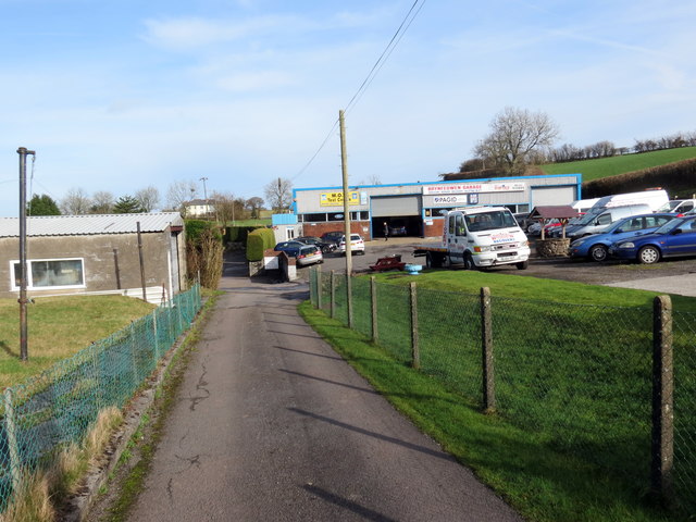
Image: © Alan Richards Taken: 5 Feb 2020
Llwybr cyhoeddus yn mynd heibio i Garej Brynfedwen wrth anelu at anhedd-dy o'r enw Yr Hafod. Ar adeg ysgrifennu hwn mae'r llwybr wedi'i rwystro. A public footpath passes Brynfedwen Garage (trans. birch tree hill) as it heads towards a property known as Yr Hafod (trans. the summer dwelling). At the time of writing the path is obstructed.
Images are licensed for reuse under creativecommons.org/licenses/by-sa/2.0
Image Location
Latitude
51.829753
Longitude
-4.050767