Wood Street, Brompton
Introduction
The photograph on this page of Wood Street, Brompton by Danny P Robinson as part of the Geograph project.
The Geograph project started in 2005 with the aim of publishing, organising and preserving representative images for every square kilometre of Great Britain, Ireland and the Isle of Man.

There are currently over 7.5m images from over 14,400 individuals and you can help contribute to the project by visiting https://www.geograph.org.uk
Wood Street, Brompton
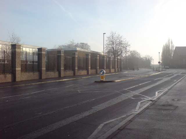
Image: © Danny P Robinson Taken: 23 Dec 2007
The Royal School of Military Engineering is on the left. This road is the A231, the main Chatham to Gillingham Road. Picture taken near Manor Street junction.
Images are licensed for reuse under creativecommons.org/licenses/by-sa/2.0
Image Location
Latitude
51.391781
Longitude
0.531165