Path on the edge of Oxford
Introduction
The photograph on this page of Path on the edge of Oxford by Des Blenkinsopp as part of the Geograph project.
The Geograph project started in 2005 with the aim of publishing, organising and preserving representative images for every square kilometre of Great Britain, Ireland and the Isle of Man.

There are currently over 7.5m images from over 14,400 individuals and you can help contribute to the project by visiting https://www.geograph.org.uk
Path on the edge of Oxford
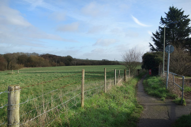
Image: © Des Blenkinsopp Taken: 3 Feb 2020
Suburban houses on the right, fields on the left. Oxford stops very suddenly just here.
Images are licensed for reuse under creativecommons.org/licenses/by-sa/2.0
Image Location
Latitude
51.766666
Longitude
-1.182661