Open space between Rawthorpe and Dalton
Introduction
The photograph on this page of Open space between Rawthorpe and Dalton by Stephen Craven as part of the Geograph project.
The Geograph project started in 2005 with the aim of publishing, organising and preserving representative images for every square kilometre of Great Britain, Ireland and the Isle of Man.

There are currently over 7.5m images from over 14,400 individuals and you can help contribute to the project by visiting https://www.geograph.org.uk
Open space between Rawthorpe and Dalton
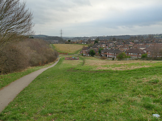
Image: © Stephen Craven Taken: 25 Jan 2020
The surfaced path to the left is a right of way running the full length of the space, and follows the line of Lady Lane, shown on older maps before the housing estates were built.
Images are licensed for reuse under creativecommons.org/licenses/by-sa/2.0
Image Location
Latitude
53.654368
Longitude
-1.751374