Pinsley Mill Gardens (Leominster)
Introduction
The photograph on this page of Pinsley Mill Gardens (Leominster) by Fabian Musto as part of the Geograph project.
The Geograph project started in 2005 with the aim of publishing, organising and preserving representative images for every square kilometre of Great Britain, Ireland and the Isle of Man.

There are currently over 7.5m images from over 14,400 individuals and you can help contribute to the project by visiting https://www.geograph.org.uk
Pinsley Mill Gardens (Leominster)
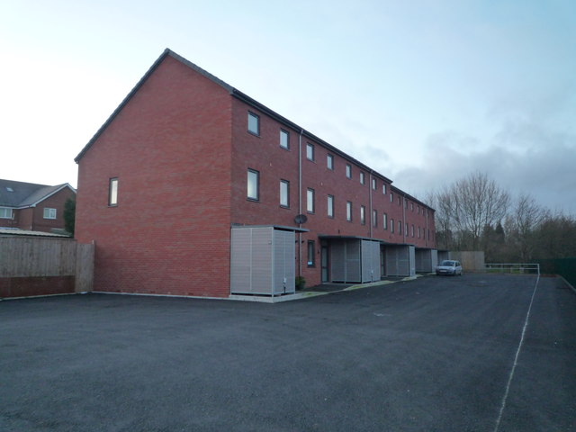
Image: © Fabian Musto Taken: 1 Feb 2020
This modern housing is called "Pinsley Mill Gardens", but there's barely any gardens in sight from this view... behind me though is a lot of grassland, so I guess that's where the housing development got its name from. I've got a big story to tell about my memories passing the original Pinsley Mill building before it got demolished in February 2014, but you can see that on my photographs that are only titled "Pinsley Mill (Leominster)".
Images are licensed for reuse under creativecommons.org/licenses/by-sa/2.0
Image Location


Leaflet Map data © OpenStreetMap
Latitude
52.227827
Longitude
-2.732133