Housing association flats in Hackney
Introduction
The photograph on this page of Housing association flats in Hackney by Malc McDonald as part of the Geograph project.
The Geograph project started in 2005 with the aim of publishing, organising and preserving representative images for every square kilometre of Great Britain, Ireland and the Isle of Man.

There are currently over 7.5m images from over 14,400 individuals and you can help contribute to the project by visiting https://www.geograph.org.uk
Housing association flats in Hackney
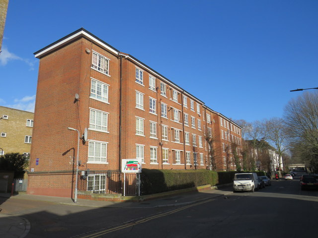
Image: © Malc McDonald Taken: 1 Feb 2020
A block of flats in Hackney built by the Samuel Lewis Trust.
Images are licensed for reuse under creativecommons.org/licenses/by-sa/2.0
Image Location
Latitude
51.551645
Longitude
-0.066971