World War Two Beach Defences near Elmer
Introduction
The photograph on this page of World War Two Beach Defences near Elmer by Simon Carey as part of the Geograph project.
The Geograph project started in 2005 with the aim of publishing, organising and preserving representative images for every square kilometre of Great Britain, Ireland and the Isle of Man.

There are currently over 7.5m images from over 14,400 individuals and you can help contribute to the project by visiting https://www.geograph.org.uk
World War Two Beach Defences near Elmer
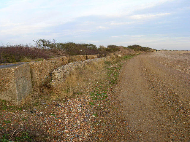
Image: © Simon Carey Taken: 22 Dec 2007
The boundary to the beach is marked by a flint wall and big concrete blocks, beyond the stunted tree line to the left are farmlands.
Images are licensed for reuse under creativecommons.org/licenses/by-sa/2.0
Image Location
Latitude
50.794448
Longitude
-0.589048