View along the River Wensum from St Miles Bridge
Introduction
The photograph on this page of View along the River Wensum from St Miles Bridge by Evelyn Simak as part of the Geograph project.
The Geograph project started in 2005 with the aim of publishing, organising and preserving representative images for every square kilometre of Great Britain, Ireland and the Isle of Man.

There are currently over 7.5m images from over 14,400 individuals and you can help contribute to the project by visiting https://www.geograph.org.uk
View along the River Wensum from St Miles Bridge
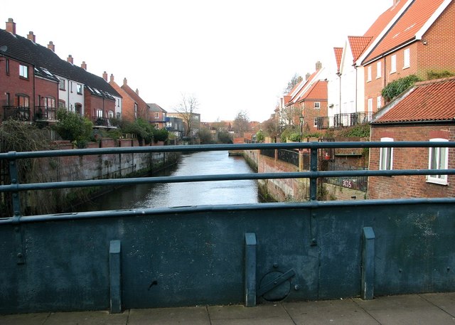
Image: © Evelyn Simak Taken: 1 Feb 2020
This view also shows the (currently closed) opening of the spout > https://www.geograph.org.uk/photo/6382307 which allows water to run off the bridge quickly when open.
Images are licensed for reuse under creativecommons.org/licenses/by-sa/2.0
Image Location
Latitude
52.632124
Longitude
1.289753