Chequers Lane Garage
Introduction
The photograph on this page of Chequers Lane Garage by Ian Capper as part of the Geograph project.
The Geograph project started in 2005 with the aim of publishing, organising and preserving representative images for every square kilometre of Great Britain, Ireland and the Isle of Man.

There are currently over 7.5m images from over 14,400 individuals and you can help contribute to the project by visiting https://www.geograph.org.uk
Chequers Lane Garage
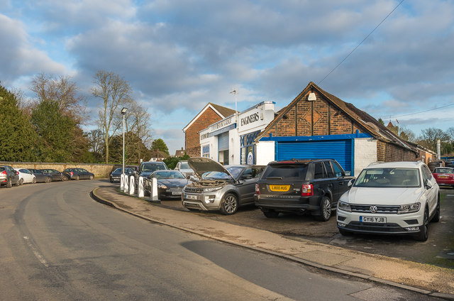
Image: © Ian Capper Taken: 10 Jan 2020
Garage on Chequers Lane, in a premises first shown on the 1935 1:2,500 map. In the left background is the wall to Walton Manor.
Images are licensed for reuse under creativecommons.org/licenses/by-sa/2.0
Image Location
Latitude
51.281827
Longitude
-0.248715