Bradley Mills Lane, Huddersfield
Introduction
The photograph on this page of Bradley Mills Lane, Huddersfield by Stephen Craven as part of the Geograph project.
The Geograph project started in 2005 with the aim of publishing, organising and preserving representative images for every square kilometre of Great Britain, Ireland and the Isle of Man.

There are currently over 7.5m images from over 14,400 individuals and you can help contribute to the project by visiting https://www.geograph.org.uk
Bradley Mills Lane, Huddersfield
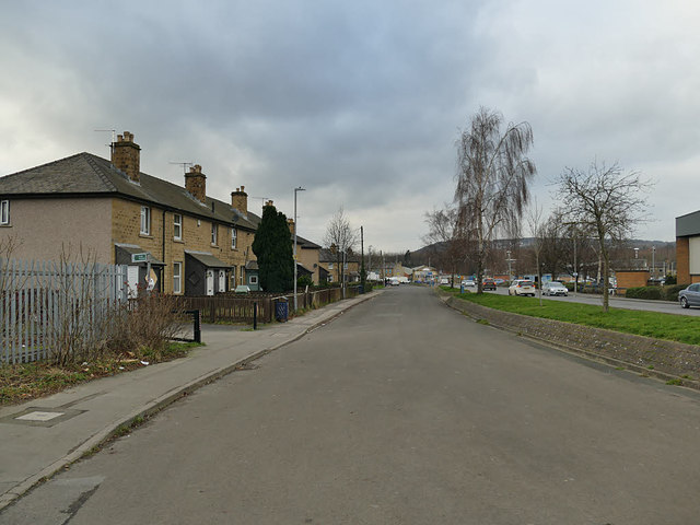
Image: © Stephen Craven Taken: 25 Jan 2020
This now functions as a dead-end service road for the adjacent houses, and Bradley Mills Road runs immediately parallel to it, but the original alignment of the latter was a bit further north.
Images are licensed for reuse under creativecommons.org/licenses/by-sa/2.0
Image Location
Latitude
53.656559
Longitude
-1.768156