Paignton Road, Stoke Gabriel
Introduction
The photograph on this page of Paignton Road, Stoke Gabriel by Derek Harper as part of the Geograph project.
The Geograph project started in 2005 with the aim of publishing, organising and preserving representative images for every square kilometre of Great Britain, Ireland and the Isle of Man.

There are currently over 7.5m images from over 14,400 individuals and you can help contribute to the project by visiting https://www.geograph.org.uk
Paignton Road, Stoke Gabriel
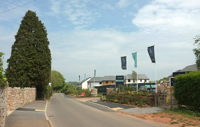
Image: © Derek Harper Taken: 23 May 2019
Leaving the village, a task that will become harder as Stoke Gabriel continues to expand. Ahead on the right is a new development at King's Orchard.
Images are licensed for reuse under creativecommons.org/licenses/by-sa/2.0
Image Location
Latitude
50.408056
Longitude
-3.620291