Climping Street, Climping
Introduction
The photograph on this page of Climping Street, Climping by Simon Carey as part of the Geograph project.
The Geograph project started in 2005 with the aim of publishing, organising and preserving representative images for every square kilometre of Great Britain, Ireland and the Isle of Man.

There are currently over 7.5m images from over 14,400 individuals and you can help contribute to the project by visiting https://www.geograph.org.uk
Climping Street, Climping
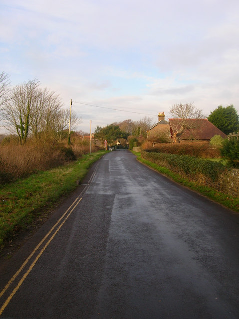
Image: © Simon Carey Taken: 22 Dec 2007
The main village street is some distance from the village church and began growing as a population centre from the 16th century onwards as the chief route to the sea. The narrow street can be clogged with traffic during the summer as many people make for the popular beaches at Atherington. Taken from the point where the footpath from Kent's Farm reaches the street.
Images are licensed for reuse under creativecommons.org/licenses/by-sa/2.0
Image Location


Leaflet Map data © OpenStreetMap
Latitude
50.803513
Longitude
-0.580118