Lane near Milbourne Farm
Introduction
The photograph on this page of Lane near Milbourne Farm by Vieve Forward as part of the Geograph project.
The Geograph project started in 2005 with the aim of publishing, organising and preserving representative images for every square kilometre of Great Britain, Ireland and the Isle of Man.

There are currently over 7.5m images from over 14,400 individuals and you can help contribute to the project by visiting https://www.geograph.org.uk
Lane near Milbourne Farm
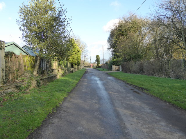
Image: © Vieve Forward Taken: 1 Feb 2020
The entrance to Milbourne Farm is on the right, with a red telephone box (now filled with books) at the junction with Milbourne Lane further on. The wall on the right is partly made up from the stands of staddle stones.
Images are licensed for reuse under creativecommons.org/licenses/by-sa/2.0
Image Location
Latitude
51.587585
Longitude
-2.082369