Half Mile Drove
Introduction
The photograph on this page of Half Mile Drove by Chris Thomas-Atkin as part of the Geograph project.
The Geograph project started in 2005 with the aim of publishing, organising and preserving representative images for every square kilometre of Great Britain, Ireland and the Isle of Man.

There are currently over 7.5m images from over 14,400 individuals and you can help contribute to the project by visiting https://www.geograph.org.uk
Half Mile Drove
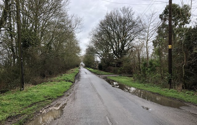
Image: © Chris Thomas-Atkin Taken: 2 Feb 2020
The lane is called Half Mile Drove and runs in a straight line between the Laughton Road (B2124) and The Broyle (B2192). I make the distance between the two roads as being around 830 yards, which is close to being half a mile but not quite.
Images are licensed for reuse under creativecommons.org/licenses/by-sa/2.0
Image Location
Latitude
50.899264
Longitude
0.086219