Deeside Way near Potarch
Introduction
The photograph on this page of Deeside Way near Potarch by Richard Webb as part of the Geograph project.
The Geograph project started in 2005 with the aim of publishing, organising and preserving representative images for every square kilometre of Great Britain, Ireland and the Isle of Man.

There are currently over 7.5m images from over 14,400 individuals and you can help contribute to the project by visiting https://www.geograph.org.uk
Deeside Way near Potarch
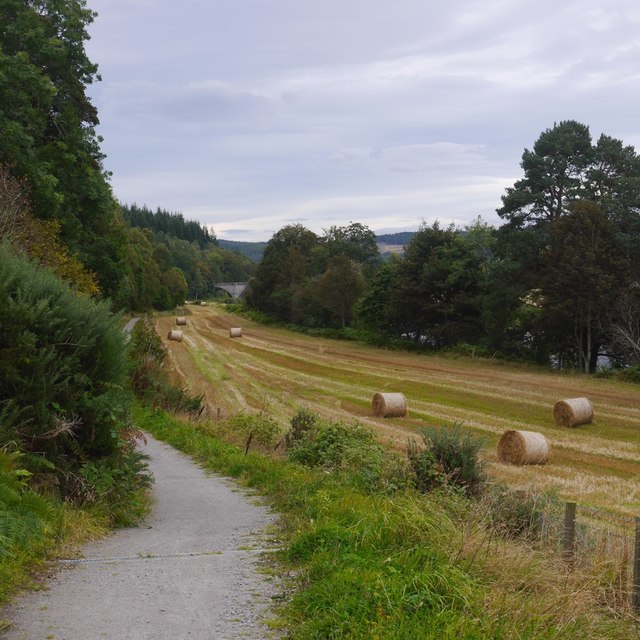
Image: © Richard Webb Taken: 14 Sep 2019
A very narrow field between steep ground and the Dee. The route crosses at the bridge at Potarch, background, and continues through the distant Blackhall Forest before taking the railway trackbed into Aberdeen.
Images are licensed for reuse under creativecommons.org/licenses/by-sa/2.0
Image Location
Latitude
57.069156
Longitude
-2.655364