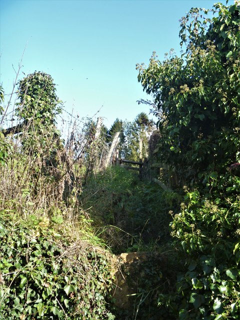
Chedworth paths [3]
Introduction
The photograph on this page of Chedworth paths [3] by Michael Dibb as part of the Geograph project.
The Geograph project started in 2005 with the aim of publishing, organising and preserving representative images for every square kilometre of Great Britain, Ireland and the Isle of Man.
There are currently over 7.5m images from over 14,400 individuals and you can help contribute to the project by visiting https://www.geograph.org.uk

Image: © Michael Dibb Taken: 22 Oct 2019
A view of the public footpath which lies beyond the listed stile seen at Image The path seemingly sees little use as it merely loops around to join the Macmillan Way long distance path. There is a plethora of rights of way all around the village. Lower, Middle and Upper Chedworth, without any distinct boundaries, sprawl over more than a mile along and above the broad valley of a tributary of the River Coln which is fed by many copious springs. The village is widely known for its Roman villa, one of the most extensive to be uncovered in England.
Image Location


